MISSION & VISION
MISSION: Intelligent autonomy builds the future.
VISION: To become the world’s leading VTOL UAV manufacturing company & industrial UAV solutions provider.
VALUE: Customer-centric and inspiring dedication
Innovative Technologies Changing the World personal instructor.
14years UAV R&D & manufacturing Experience
50%+
Market share in VTOL fixed wing UAV in China
1500+ companies Using Primadrone products globally
Around 500,000 hours Cumulative flight time
Trusted by Top Brands Worldwide
How we do it
Industry Applications


Drones are ideal for large-scale mapping with high resolution, collecting orthophotos, oblique images and LiDAR data.

Drones can monitor large areas in real time regardless of the terrain and transmit live video from the air to any location (HQ/office/operation center).

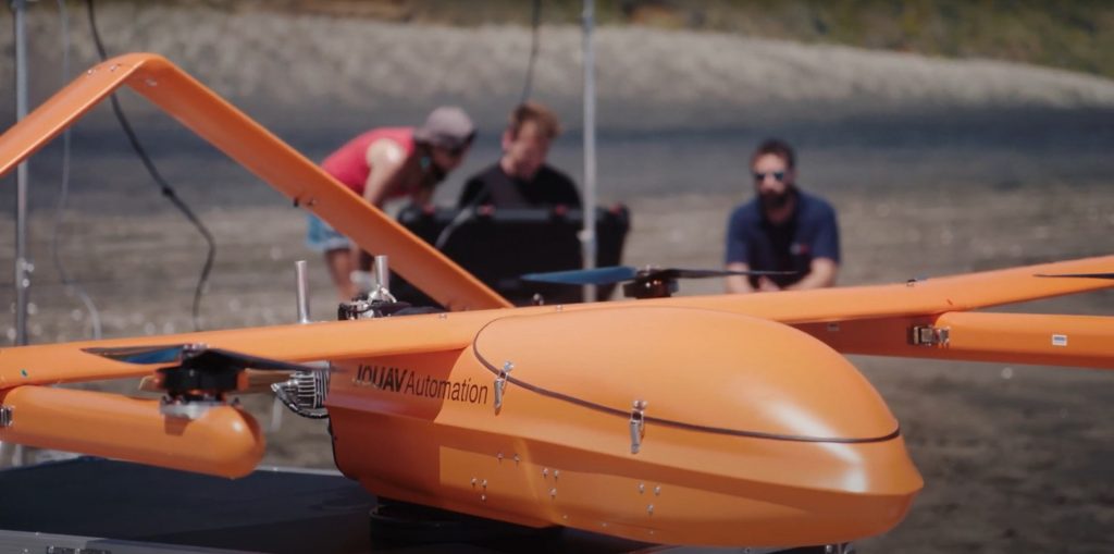
Using drones for inspecting oil and gas assets and infrastructure construction results in higher quality, more consistent, and faster data collection.

Drones provide high-precision data quickly on mine surveying, inventory management, stockpile estimation, etc., helping mining companies reduce quarry and mining operations costs, time and risks.

